
Malenadu Travel
Agumbe is a small rainforest village in Thirthahalli taluk of Shivamogga district, sitting right on the crest of the Western Ghats. It is known for some of the heaviest rain in India, a sunset point that looks towards the sea, a ghat road of hairpin bends and the old street where Malgudi Days was filmed. This guide covers what to see, eat and plan.
On this page
What is Agumbe known for?
Agumbe is known for rain, rainforest and sunsets. People call it the Cherrapunji of the South because of its rainfall. The village sits at the very top of the ghats, where the land drops steeply towards the coast, so on a clear evening you watch the sun go down over a sea of forest.
It is also known for king cobras, for tall forest waterfalls and for the TV series Malgudi Days, parts of which were shot on its main street. Most visitors come for one of these and stay for the quiet. There is little traffic, the air smells of wet leaves and the evenings are cool for most of the year.
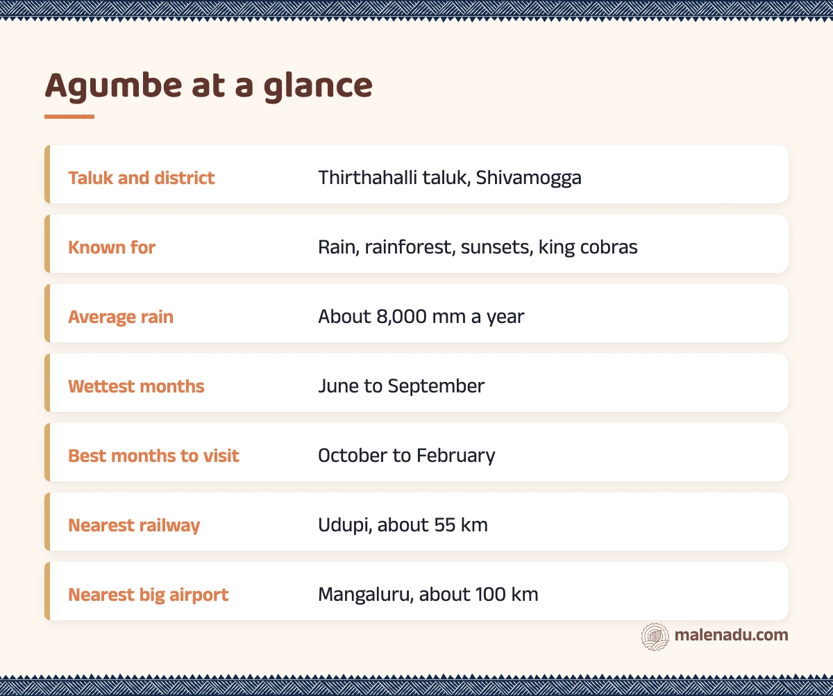
Agumbe is in Thirthahalli taluk of Shivamogga district. For how the taluks of the hills fit together, see our list of Malenadu districts and taluks.
Malgudi Days and a short history
The village grew as a halt at the top of the ghat road that links Shivamogga with Udupi and the coast. Buses and lorries stopped here before the long climb down. A small bazaar of shops, eateries and houses grew around that stop. It is still a village rather than a town.
In the mid 1980s the actor and director Shankar Nag filmed Malgudi Days, based on the stories of R.K. Narayan, in and around Agumbe. One of the old houses on the main street served as the home of Swami, the boy at the centre of many episodes. People who watched the series as children still come to stand in front of it.
These old houses are worth a slow look. Tiled roofs, wooden pillars, a raised verandah and an open courtyard inside are typical of the hills. Our guide to the traditional Malenadu house explains how they are built and why.
Local tip
The Malgudi Days house is a private home. Look from the street, ask before you take photos of the family and do not walk in unless you are invited.
Agumbe rainfall: why it rains so much here
Agumbe rainfall is heavy because the village sits on the crest of the Western Ghats, right where the wet monsoon winds from the Arabian Sea hit the hills. The air is pushed up the steep slopes, where it cools and drops its water. Most of the year’s rain falls from June to September.
Meteorological department figures put the long-term average at about 8,000 mm a year. Deccan Herald reported a record of 11,343 mm in 1962 and only about 5,000 mm in 2015, with the five years before that averaging about 6,500 mm. The same report links the fall to forest loss and planting of acacia.
The village is no longer always the wettest spot. In 2022 the gauge at Hulikal, in Hosanagara taluk of the same district, recorded more rain than Agumbe. Our guide to the Malenadu monsoon and rainfall explains the science and lists the wettest places.
Agumbe tourist places in and around the village
The main Agumbe tourist places are the sunset point, the ghat road, the forest falls of Jogigundi, Barkana and Onake Abbi, Kundadri hill and the old village street. Most are within 20 km. The falls need walking and some need a Forest Department permit.
| Place | Rough distance from the village | What it is |
|---|---|---|
| Sunset point | about 2 km | West facing viewpoint at the top of the ghat |
| Ghati Chowdamma lake | about 2 km | Small lake on the sunset point road |
| Jogigundi falls | about 3 to 4 km | Small fall and pool, short walk |
| Barkana viewpoint | about 2 km past Jogigundi | View into the Sita river valley |
| Onake Abbi falls | about 4 km forest trek | Tall fall, permit and guide needed |
| Kundadri hill | about 16 km | 17th century Jain temple on an 826 m hilltop |
| Sringeri | about 28 km | Sharadamba temple on the Tunga |
| Thirthahalli | about 30 km | Taluk town on the Tunga |
| Kuppalli | about 45 km | Home of the poet Kuvempu, now a museum |
| Udupi | about 55 km | Coast, temple town and railway |
Agumbe sunset point
The Agumbe sunset point is a small hill at the edge of the village, reached by a short flight of steps. It looks west over the forested slopes towards the coast. On clear evenings from October to February you can see the sun drop towards the Arabian Sea.
Go about 45 minutes before sunset to find a place to stand, because weekends get busy. In the monsoon the view is usually lost in cloud, but the mist rolling up the valley is its own show. On the way you pass Ghati Chowdamma lake, named after the nearby Chowdamma temple.
Agumbe ghat and its hairpin bends
The Agumbe ghat is the steep stretch of National Highway 169A that drops from the village down to Someshwara and on to Hebri and Udupi. By the usual count it has 14 hairpin bends. The forest you look down on is protected as the Someshwara Wildlife Sanctuary.
Drive it slowly in a low gear and only in daylight. In the monsoon the ghat is often hit by landslides and fallen trees. District officials have closed it or banned heavy vehicles for days at a time, so check local news before you set out.
Kundadri hill
Kundadri is a forested hill about 16 km away, with a 17th century Jain temple of Parshwanatha on top and two small ponds beside it. Karnataka Tourism notes that the hill is believed to take its name from the Jain monk Acharya Kundakunda. The last stretch of road is steep and narrow, so only confident drivers should take a car up.
The hilltop is one of the best places in the area for sunrise. On a clear morning you see ridge after ridge of the Western Ghats, with mist lying in the valleys.
Falls near Agumbe and forest permits
The falls near Agumbe are Jogigundi, Barkana and Onake Abbi, with Kunchikal farther north. They are all inside forest, so the rule is simple: go in daylight, go with a local guide and get Forest Department permission wherever it is needed.
- Jogigundi: a small fall and deep pool about 3 to 4 km from the village, reached by a short walk. It is named after a yogi who is believed to have meditated here. It runs thin by late November.
- Barkana: here the Sita river drops into a deep forested valley. Barkana is often listed among the tallest falls in India. Most people see it from the Barkana viewpoint, since walking down to the falls needs Forest Department approval and a guide.
- Onake Abbi: a tall, narrow fall of about 500 ft, deep in the rainforest. The trek is about 4 km each way and takes about two hours. Permission is needed and the trail is usually closed in the monsoon.
- Kunchikal: a long series of cascades on the Varahi river near Masthikatte, about 455 m in all. Access is limited and the last stretch is rough. Ask locally before driving there.
Onake is the long wooden pestle used to pound grain. The fall is said to look like one. Our guide to Malenadu waterfalls lists these and other falls with access notes. For longer walks such as Narasimha Parvatha, see peaks and treks.
King cobras and wildlife in the rainforest
The rainforest here is best known for the king cobra, the longest venomous snake in the world. Researchers have studied king cobras around Agumbe for many years, which is a big part of why the village is linked with the snake. The forest is also home to the Malabar pit viper, many frogs and lizards and a rich bird life.
When a king cobra enters a house or cowshed, villagers call trained rescuers rather than kill it. As a visitor, never touch, follow or corner a snake for a photo. Our guides to Malenadu snakes and Malenadu wildlife tell you what to look for and how to stay safe.
If someone is bitten, follow official first aid. Keep the person calm and keep the bitten limb still. Remove rings and tight things and get to a hospital that has antivenom as fast as you can. Do not cut the wound, suck it, tie a tight tourniquet or try herbal remedies.
Things to do in Agumbe
The best things to do in Agumbe are slow, outdoor and weather dependent. Plan one or two of these a day rather than trying to see everything.
- Watch the sun go down from the sunset point.
- Walk the old main street and see the Malgudi Days house from outside.
- Take a guided forest walk to Jogigundi and the Barkana viewpoint.
- Trek to Onake Abbi with a permit, between October and February.
- Drive up Kundadri for sunrise.
- Drive down the ghat for the forest views.
- Sit through a monsoon afternoon with hot coffee and the sound of rain on a tiled roof.
- Visit Sringeri or Thirthahalli for half a day.
What to eat in the village
Food here is simple Malenadu home food: rice, saaru (a thin, peppery curry), a vegetable palya, pickles and buttermilk. The village eateries serve plain meals and snacks. Homestays cook the dishes of the family kitchen, so ask for breakfast like akki rotti (rice flour flatbread) or steamed kadubu.
In the rainy months, look for patrode, colocasia leaves rolled with a spiced rice paste and steamed. Another rainy day favourite is kokum saaru, a sour, peppery rasam made with dried kokum, called murugalu in the hills.
From the malenadu pantry
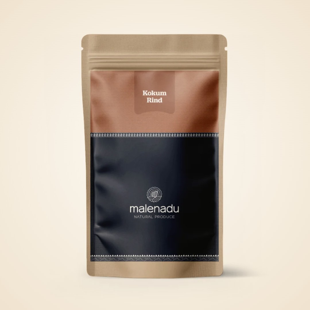
Our dried Kokum Rind is the murugalu that goes into kokum saaru in Malenadu homes. Soak a few pieces, add pepper and a little jaggery and you have the taste of a rainy hill lunch at home.
Two safety notes on forest food. Eat wild mushrooms only if a local person who knows them well has picked them; otherwise stick to market mushrooms. Bamboo shoots must be soaked and boiled before cooking and never eaten raw.
What crops grow around Agumbe?
The crops around Agumbe are areca nut, pepper and rice. Areca palms stand in shady gardens along the streams, black pepper vines climb up the palms and paddy fields fill the flat valley floors. Coconut, banana and kokum trees grow around many houses.
The heavy rain suits these crops but makes farming hard work. Areca bunches must be sprayed against fruit rot during the monsoon. Pepper is picked by hand from tall vines in winter.
Part of the forest near Onake Abbi is kept as a conservation area for medicinal plants. Our guide to Malenadu medicinal plants covers how families use them.
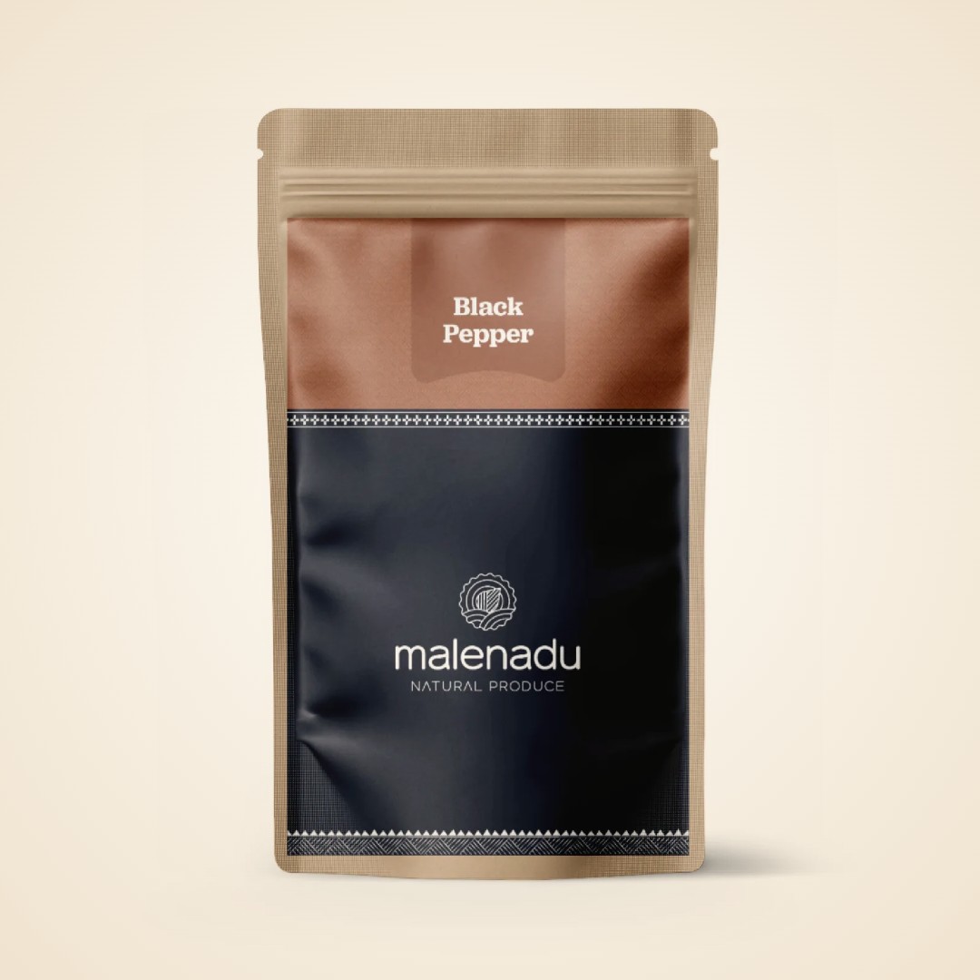
From the malenadu pantry
Our Black Pepper comes from these same hills, picked from vines on areca palms and dried in the sun. It is the sharp, bold pepper that goes into every saaru in these kitchens.
When is the best time to visit Agumbe?
The best time to visit Agumbe is October to February, when the rain has stopped, the forest trails open and the sunset point has clear skies. The monsoon from June to September is for people who come to see the rain itself.
| Season | Months | What to expect |
|---|---|---|
| Monsoon | June to September | Very heavy rain, mist, leeches, falls in full flow, some trails closed |
| After the rains | October to November | Green forest, falls still running, trails reopening |
| Winter | December to February | Clear sunsets, cool mornings, best for treks |
| Summer | March to May | Warm days, falls thin, quiet village |
How to reach Agumbe
You reach the village by road, from Shivamogga and Thirthahalli on the east or from Udupi on the coast up the ghat. Government and private buses run from Shivamogga, Thirthahalli and Udupi. There is also a direct bus from Bengaluru.
- From Bengaluru: a long day’s drive or an overnight bus. Our Bangalore to Malenadu guide gives routes and drive times.
- By train: Udupi, about 55 km away, is the nearest station on the coast. Shivamogga, about 90 km away, is the nearest on the Bengaluru side.
- By air: Mangaluru airport is about 100 km away. Shivamogga airport is closer to the east side, but flights are fewer.
Thirthahalli is about 30 km away and Sringeri about 28 km, so it is easy to combine them. Our guide to Thirthahalli covers the town and the places around it.
A 1 or 2 day plan
One full day is enough for the village, the sunset point and a short forest walk. Two days let you add a trek or Kundadri at sunrise.
Day 1
- Morning: reach the village by late morning. Walk the main street and see the old houses.
- Afternoon: with a local guide, walk to Jogigundi and the Barkana viewpoint.
- Evening: reach the sunset point 45 minutes before sunset. Eat a simple meal in the village.
Day 2
- Early morning: drive to Kundadri for sunrise. Between October and February you could instead start the Onake Abbi trek with your permit and guide.
- Afternoon: drive down the ghat towards Udupi. If you are heading inland, go east to Thirthahalli and Kuppalli or south to Sringeri.
Local tips for Agumbe
A few local tips make the trip much easier, especially in the rain. Most of them come down to respecting the forest and the weather.
- Leeches: they are on every trail from June to November. Wear leech socks or tuck trousers into socks. A little salt makes them drop off.
- Monsoon safety: do not enter streams or stand on rocks at falls in heavy rain. Water can rise in minutes.
- Permits: get Forest Department permission before any trek inside protected forest. Take a local guide and never walk in the forest at night.
- Cash and signal: carry some cash, since mobile signal and card machines can be patchy.
- Rain gear: an umbrella and a light raincoat are both worth packing, even outside the monsoon.
Many forest trails discourage plastic. Carry snacks and water in a cloth bag and bring all your waste back out. Our Kannada printed jute bag is a handy size for a day walk.
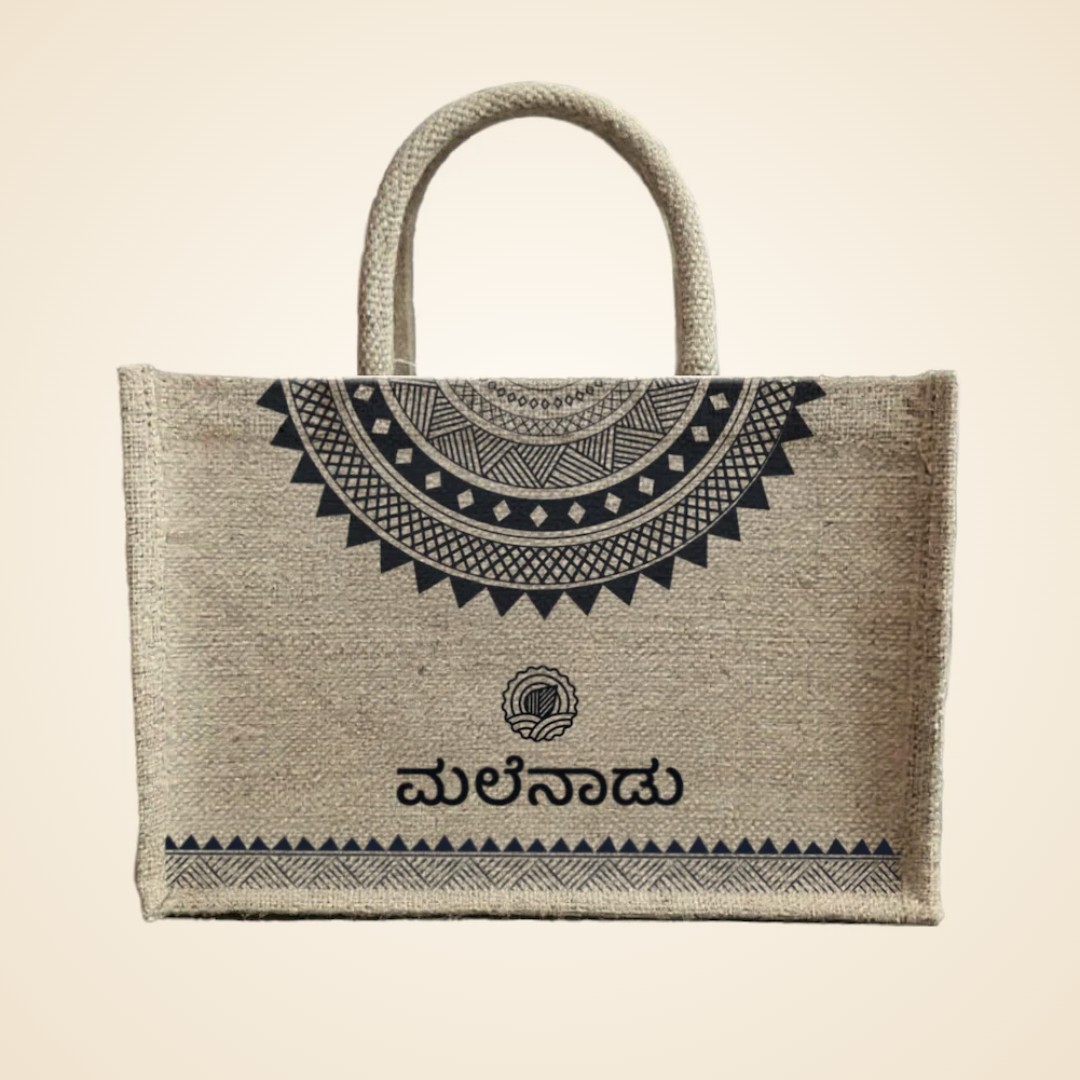
From the malenadu pantry
A small jute bag with Kannada lettering folds flat in a backpack and carries water, fruit and a raincoat on a forest walk. Back home, it does the vegetable shopping.
Local tip
In the monsoon, keep a dry set of clothes and a towel in the car. You will get wet just walking up to the sunset point. A dry shirt makes the drive back far more pleasant.
Where to go next
From here, head east to Thirthahalli for the Tunga river and Kuvempu’s home at Kuppalli. To the south lie the temples of Sringeri. Our guide to Malenadu temples helps with a temple route. To take the taste of these hills home, browse the pepper, kokum and jaggery in our shop.
Bring Malenadu home
Grown and made by Malenadu farmer families, packed by malenadu, a farmer owned producer company in Honnavar.
-
8% OFF
Black Pepper
Price range: ₹165 through ₹299 -
17% OFF

Kokum Rind
Original price was: ₹240.₹200Current price is: ₹200. -
51% OFF
Small Jute Bag
Original price was: ₹200.₹99Current price is: ₹99. -
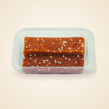
Coconut Jaggery Burfi
₹120 -
14% OFF

Liquid Jaggery
Original price was: ₹349.₹299Current price is: ₹299. -
29% OFF

Honey
Price range: ₹249 through ₹449
Frequently asked questions about Agumbe
Why is Agumbe famous?
It is famous for very heavy rain, its rainforest, the sunset point and king cobras. It is also where parts of the TV series Malgudi Days were filmed.
How much rain does Agumbe get?
The long-term average is about 8,000 mm a year, with a record of 11,343 mm in 1962. Recent years have been lower and nearby Hulikal has sometimes recorded more.
What is the best time to visit Agumbe?
October to February is best for clear sunsets and open trails. June to September is for people who want to see the monsoon at its heaviest.
Can you see the sunset at Agumbe in the monsoon?
Usually not, because clouds and mist cover the view. Clear sunsets are most likely from October to February.
How many hairpin bends are there on the Agumbe ghat?
The usual count is 14 hairpin bends on the road down towards Someshwara and Udupi. Drive slowly and only in daylight.
Do I need permission to visit Barkana and Onake Abbi falls?
Yes. Both are inside protected forest, so you need Forest Department permission and a local guide. The Onake Abbi trail is usually closed in the monsoon.
Was Malgudi Days shot in Agumbe?
Yes. Shankar Nag filmed parts of Malgudi Days here in the mid 1980s. One old house on the main street served as Swami’s home.
How far is Agumbe from Thirthahalli and Udupi?
It is about 30 km from Thirthahalli and about 55 km from Udupi. Sringeri is about 28 km away.
Explore more of Malenadu
Malenadu TravelMalenadu Travel GuideRoutes, stays and seasons for the rain hills of Karnataka
Malenadu TravelMalenadu Monsoon and RainfallWhy the hills get so much rain and how life bends to it
Malenadu TravelMalenadu Peaks and TreksPeaks, permits and seasons for walking the Western Ghats
Malenadu TravelMalenadu Waterfalls22 falls across the hills, with access and best season
Malenadu TravelMalenadu WildlifeTigers, macaques, king cobras and the forests farms need
Malenadu TravelMalenadu TemplesRiver shrines, hill goddesses and carved stone
Malenadu TravelBangalore to MalenaduDistances, routes and plans for the drive to the hills
Malenadu TravelMalenadu RiversTen rivers that rise in the hills and shape life below
Start hereMalenadu in KarnatakaWhere Malenadu is, what the name means