

Malenadu Travel
Going from Bangalore to Malenadu takes four to nine hours by road, depending on which part of the hills you want. This page gives distances and drive times to 13 hill towns, the three main road routes, the trains and airports that help, sample two and three day plans and honest advice for ghat roads in the rain.
On this page
How far is Malenadu from Bangalore?
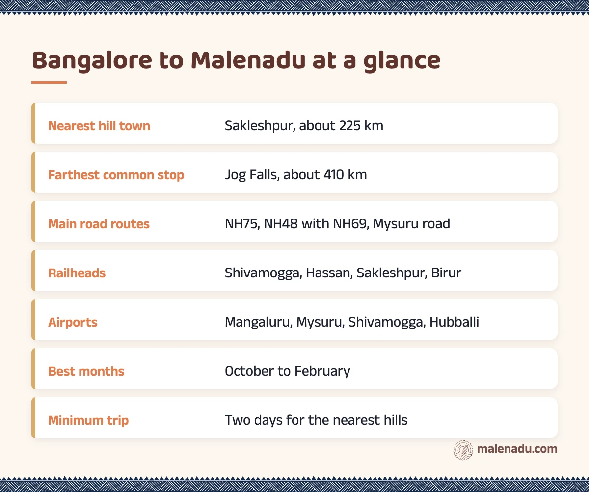
Malenadu begins about 225 km west of Bengaluru at Sakleshpur and runs north to Sirsi and Jog Falls, more than 400 km away. So there is no single Bangalore to Malenadu distance. The hills are a long belt along the Western Ghats, not one town.
Think of the region in three parts. The south (Sakleshpur, Kodagu) is closest, at four to six hours by car. The centre (Chikkamagaluru, Sringeri, Agumbe, Shivamogga) is six to seven hours away, while the north (Sagar, Jog Falls, Sirsi) needs a full day.
For the meaning of the name and the list of sights, read our page on Malenadu in Karnataka. For taluks, see the district by district map of Malenadu. This page answers one question: getting from Bangalore to Malenadu and back without losing your holiday on the road.
Bangalore to Malenadu distance: town by town table
The table below gives the Bangalore to Malenadu distance for each main hill town, measured from central Bengaluru by the usual route. Distances are rounded and drive times are ranges, because traffic leaving the city and the state of ghat roads change everything.
| Town | District | Distance from Bengaluru | Drive time | Usual route |
|---|---|---|---|---|
| Sakleshpur | Hassan | about 225 km | 4 to 5 hours | NH75 via Kunigal and Hassan |
| Chikkamagaluru | Chikkamagaluru | about 245 km | 4.5 to 5.5 hours | NH75 to Hassan, then Belur |
| Madikeri | Kodagu | about 255 km | 5 to 6 hours | Mysuru, Hunsur, Kushalnagar |
| Mudigere | Chikkamagaluru | about 260 km | 5 to 6 hours | NH75 to Hassan, then Belur |
| Shivamogga | Shivamogga | about 300 km | 5 to 6 hours | NH48 to Tumakuru, then NH69 |
| Kalasa | Chikkamagaluru | about 320 to 340 km | 6 to 7 hours | via Chikkamagaluru or Mudigere |
| Sringeri | Chikkamagaluru | about 335 km | 6 to 7 hours | via Chikkamagaluru |
| Thirthahalli | Shivamogga | about 340 to 365 km | 6 to 7.5 hours | via Shivamogga |
| Kudremukh | Chikkamagaluru | about 340 to 360 km | 6.5 to 7.5 hours | via Mudigere and Kalasa |
| Agumbe | Shivamogga | about 360 to 395 km | 7 to 8 hours | via Sringeri or via Thirthahalli |
| Sagar | Shivamogga | about 390 km | 7 to 8 hours | NH69 via Shivamogga |
| Sirsi | Uttara Kannada | about 405 km | 7 to 8.5 hours | NH48 via Haveri |
| Jog Falls | Shivamogga | about 410 km | 7.5 to 9 hours | NH69 via Shivamogga and Sagar |
Karnataka Tourism puts Chikkamagaluru at about 250 km from Bengaluru and lists the NH75 route through Hassan and Belur as one of the ways in. For Jog Falls, its own page gives about 411 km by road, which matches our table.
Why the Malenadu distance feels longer than it looks
The Malenadu distance on a map hides two slow parts: the hour it takes to clear Bengaluru traffic and the last 50 to 80 km inside the hills, where roads are narrow and full of bends. Plan any Bangalore to Malenadu drive by hours, not kilometres.
Local tip
Leave Bengaluru by 5 am. You will clear the city in under an hour, reach the hills by late morning and still have daylight for the last ghat stretch. Leave at 9 am and the same drive can take two hours longer.
Best road routes from Bangalore to Malenadu
There are three main road routes from Bangalore to Malenadu. The part of the hills you want decides which one to take. All three are good highways for most of the way.
NH75 via Hassan: for Sakleshpur, Chikkamagaluru and Mudigere
NH75 leaves Bengaluru past Nelamangala and runs through Kunigal, Channarayapatna and Hassan. At Hassan, go straight on for Sakleshpur or turn right through Belur for Chikkamagaluru and Mudigere. This is the quickest Bangalore to Malenadu route for the coffee hills. From Mudigere the road goes on to Kalasa and Kudremukh.
NH48 then NH69 via Shivamogga: for the central and northern hills
For Shivamogga, Sagar and Jog Falls, take NH48 to Tumakuru, then NH69 through Tiptur, Arsikere, Kadur and Bhadravathi. From Shivamogga, NH69 goes on to Sagar and Jog, while a separate road runs south west to Thirthahalli and Agumbe. This is the main Bangalore to Malenadu road for the north and centre.
For Sirsi, many drivers stay on NH48 to Haveri and turn west there, about 405 km in all. The scenic way through Shivamogga, Sagar and Siddapur is about 465 km but passes Jog Falls.
Mysuru route to Kodagu
For Madikeri, take the Bengaluru to Mysuru expressway, then go on through Hunsur and Kushalnagar, about 255 km in all. It is the only Bangalore to Malenadu route through Mysuru, so it is easy to add a night there.
Bangalore to Malenadu by train
Trains are the calmest way to go from Bangalore to Malenadu if your destination is near a railway line. There are three useful lines and several daily trains on each. Always check current timings with Indian Railways before you plan.
| Station | Line | Good for | Rough time from Bengaluru |
|---|---|---|---|
| Hassan | Bengaluru to Mangaluru | Belur, Halebidu, Sakleshpur by road | 3.5 to 4 hours |
| Sakleshpur | Bengaluru to Mangaluru | Sakleshpur town, Bisle side | 4.5 to 5 hours |
| Birur and Kadur | Bengaluru to Shivamogga | Chikkamagaluru, Kemmangundi | about 3 hours |
| Chikkamagaluru | branch line from Kadur | Chikkamagaluru town and estates | about 5 hours |
| Shivamogga Town | Bengaluru to Shivamogga | Thirthahalli, Agumbe, Sringeri by road | 4 to 5 hours |
| Sagar Jambagaru | Shivamogga to Talaguppa | Sagar, Keladi, Ikkeri | about 5.5 hours |
| Talaguppa | end of the line | Jog Falls, about 20 km away | about 7 hours |
Some trains from KSR Bengaluru run right through to Talaguppa via Arsikere, Birur, Shivamogga and Sagar. Check the timings before you plan and book a stay near Jog or Sagar if you arrive late. Kodagu has no railway: take a train to Mysuru and go on by road for about 120 km to Madikeri.
How to reach Malenadu by bus and by air
Buses and flights fill the gaps where trains do not reach. The short answer on how to reach Malenadu without a car: overnight buses for most towns, flights only when you are going to the far edges of the hills.
Overnight buses
State-run buses leave Bengaluru every night for almost every hill town, including Sakleshpur, Chikkamagaluru, Kalasa, Sringeri, Thirthahalli, Shivamogga, Sagar, Sirsi and Madikeri. Private sleeper buses run on the busier routes. An overnight bus is the simplest Bangalore to Malenadu option for one person or a couple: you sleep on the way and wake up in the hills. Book early for Friday nights and long weekends.
Airports near the hills
Flying from Bangalore to Malenadu only makes sense for the far western and northern edges. Four airports are useful.
- Mangaluru: about 90 to 100 km from Sringeri, Agumbe and Kudremukh and about 130 km from Sakleshpur. Good if you plan to come back down to the coast.
- Mysuru: about 120 km from Madikeri. Flights are few, so check before you plan around it.
- Shivamogga: the newest of the four, close to Sagar, Thirthahalli and Agumbe. Flights are limited, so check current schedules.
- Hubballi: about 105 km from Sirsi, useful for Uttara Kannada.
For most people the drive is quicker than a flight once you count airport time. The Malenadu travel guide covers these airports for travellers coming from other cities too.
Weekend trip to Malenadu: 2 day plans
A weekend trip to Malenadu works best in the nearer hills: Sakleshpur, Chikkamagaluru or Kodagu. On a two day Bangalore to Malenadu break, anything beyond about 300 km leaves too little time in the hills.
Plan A: Sakleshpur and Belur
- Saturday: leave Bengaluru by 5 am on NH75. Reach Sakleshpur by late morning. Climb up to Manjarabad fort, the star shaped hill fort near the highway, then spend the afternoon on a coffee and cardamom estate walk.
- Sunday: drive the short way to Belur for the Chennakeshava temple, then return to Bengaluru through Hassan by evening.
Plan B: Chikkamagaluru
- Saturday: drive to Chikkamagaluru in about five hours. After lunch, go up the Mullayanagiri road for the sunset. If clouds roll in, keep it for the next morning.
- Sunday: an early drive to Kemmangundi and Kalhatti Falls, then head home through Kadur and NH69, which is often lighter than NH75 on a Sunday evening.
Plan C: Madikeri
- Saturday: take the Mysuru road, reaching Madikeri by early afternoon. See Raja’s Seat at sunset.
- Sunday: Abbey Falls in the morning, then back through Kushalnagar and Mysuru.
Leaving on a Friday night bus turns any of these into a nearly three day weekend trip to Malenadu without taking leave. It is the favourite Bangalore to Malenadu trick of office goers.
3 day Malenadu trip from Bangalore
A three day Malenadu trip from Bangalore lets you reach the central hills, with the rainforest, the Tunga valley and the highest peaks. These two Bangalore to Malenadu loops are the most rewarding.
Loop 1: Sringeri, Agumbe and Kudremukh
- Day 1: drive through Hassan or Kadur to Chikkamagaluru, then on to Sringeri by evening. Walk along the Tunga riverbank before dark.
- Day 2: Agumbe for the rainforest and the sunset point, about 25 km from Sringeri. Stay in Agumbe or Sringeri.
- Day 3: drive back through Kalasa and the Kudremukh grasslands to Mudigere, then home on NH75.
Loop 2: Shivamogga, Sagar and Jog Falls
- Day 1: take the morning train or drive NH69 to Shivamogga, then go on to Sagar. Visit Keladi and Ikkeri, two old temple towns, in the afternoon.
- Day 2: Jog Falls in the morning, when the gorge is clearest. Spend the afternoon on the Linganamakki backwaters.
- Day 3: return through Shivamogga. If you can add a fourth day, go south to Thirthahalli and Agumbe first.
For falls along the way, use our guide to Malenadu waterfalls. If you want to add a climb, the Malenadu trekking guide lists the peaks near each of these routes, with permit rules.
What are ghat roads like in Malenadu?
Ghat roads in Malenadu are narrow two lane roads with tight hairpin bends, steep drops and little room to pass. Driven slowly in daylight they are safe but slow: a 30 km ghat stretch can take an hour.
Most drivers going from Bangalore to Malenadu meet ghat roads in two places. The first is inside the hills, on roads like the climb to Mullayanagiri, the Kemmangundi road and the forest road from Kalasa to Kudremukh. The second is if they go down to the coast, through the Shiradi ghat on NH75 below Sakleshpur, the Charmadi ghat below Kottigehara, the Agumbe ghat or the Sampaje road below Madikeri.
- Use a low gear going down instead of riding the brakes.
- Honk before blind bends and keep left.
- Give way to buses and lorries coming uphill. They need the whole bend.
- Stop for photos only at wider view points, never on a bend.
- Watch for gaur, deer and monkeys on forest stretches at dawn and dusk.
Some ghat roads close to heavy vehicles or close at night after landslides. In 2021, for example, the Chikkamagaluru district administration banned night traffic on the Charmadi ghat after a slip. Check local news before any ghat drive in the rains.
Monsoon driving tips for the Bangalore to Malenadu drive
Driving from Bangalore to Malenadu in the monsoon (June to September) is beautiful but slower and riskier. Rain, fog, fallen trees and small landslides are common, so allow at least a third more time than in winter.
- Drive only in daylight. Fog and rain on unlit hill roads make night driving a poor choice.
- Check road news the day before. Local papers and district advisories report closures quickly.
- Fill fuel in the big towns such as Hassan, Shivamogga and Chikkamagaluru. Inside the hills pumps are far apart.
- Expect no mobile signal on forest stretches. Download offline maps first.
- Use low beam and fog lamps in fog, never high beam.
- Never stop under a steep cut slope or near a swollen stream.
- Check wipers, tyres and brakes before you leave Bengaluru.
- Carry water, a torch, a towel and snacks. A blocked road can mean a two hour wait.
Leeches come out on every trail in the rain, so carry salt or leech socks. Our Malenadu monsoon and rainfall guide explains which months and places are wettest, which helps you time a Bangalore to Malenadu trip in the rains.
When is the best time to go from Bangalore to Malenadu?
October to February is the best time for most Bangalore to Malenadu trips. The falls still run full after the rains, roads are dry and mornings are cool. Weekends in December and January are crowded in Chikkamagaluru and Kodagu, so book your Bangalore to Malenadu stay early.
| Season | Months | Road conditions | Good for |
|---|---|---|---|
| Post monsoon | October to November | Mostly dry, some repairs | Full falls, green hills |
| Winter | December to February | Best of the year | Treks, sunrise views |
| Summer | March to May | Dry and hot in the valleys | Quiet stays, fruit season |
| Monsoon | June to September | Wet, slow, some closures | Rain and waterfalls |
What to pack for the road and carry home
For the Bangalore to Malenadu drive itself, pack snacks that need no fridge, plenty of water and a cloth bag for shopping on the way. Leave space in the boot for the trip back.
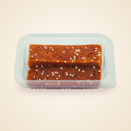
A sweet that travels without melting is useful on a five hour drive. Many Malenadu families send guests off with something made from coconut and jaggery.
From the malenadu pantry
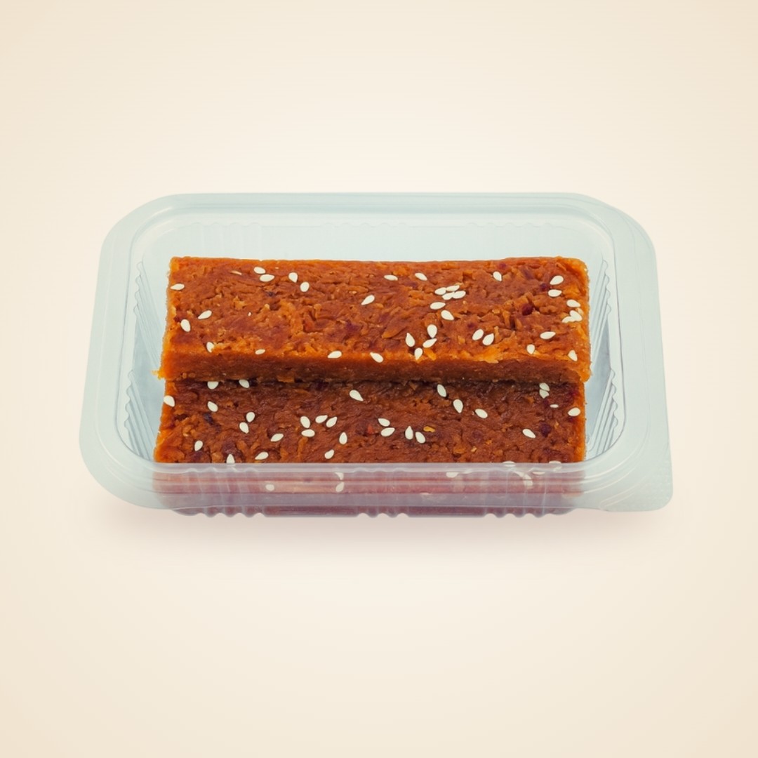
Our Coconut Jaggery Burfi is the soft, home style sweet of Malenadu kitchens. It keeps well in a car on a long drive. A box also makes an easy gift for the neighbour who watered your plants.
Many forest gates discourage plastic, so carry a cloth or jute bag for fruit, spices and bottles. Our Kannada printed jute bag folds flat in a glovebox and works for groceries back in Bengaluru too.
What to carry home from the hills
On the way from Bangalore to Malenadu you pass gardens where pepper vines climb areca and silver oak trees. Pepper is what most visitors wish they had bought more of. Cardamom, honey, coffee and kokum are the other favourites.
From the malenadu pantry
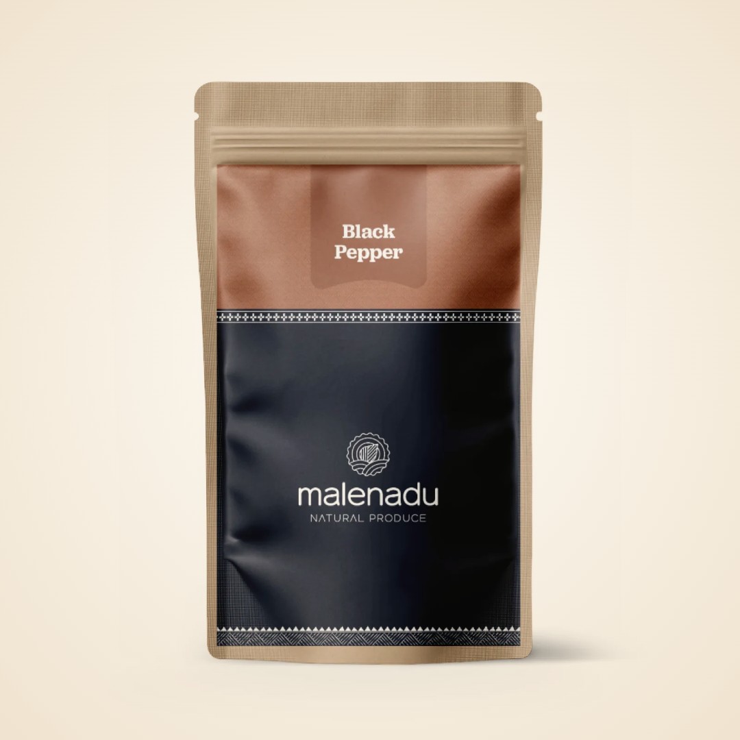
Our Black Pepper is grown in these same hills, in gardens like the ones you drive past. It is bold and sharp. You can order it once you are home instead of filling the boot on the drive back.
Everything else you liked is in our full range of Malenadu products, so a missed stall is not a lost chance.
Local tip
Ask your homestay host where they buy pepper and honey. Most hosts know a small grower nearby. Buying there puts money straight into the village you stayed in.
Plan the rest of your Malenadu trip from Bangalore
Once the Bangalore to Malenadu drive is sorted, pick where to stay and what to see. Our Malenadu travel guide covers bases, homestays and longer 5 and 7 day routes. The list of Malenadu sights by district helps you decide which part of the hills to visit first.
Bring Malenadu home
Grown and made by Malenadu farmer families, packed by malenadu, a farmer owned producer company in Honnavar.
-
Coconut Jaggery Burfi
₹120 -
8% OFF
Black Pepper
Price range: ₹165 through ₹299 -
51% OFF
Small Jute Bag
Original price was: ₹200.₹99Current price is: ₹99. -
19% OFF
Cardamom
Price range: ₹130 through ₹330 -
29% OFF

Honey
Price range: ₹249 through ₹449 -
17% OFF

Kokum Rind
Original price was: ₹240.₹200Current price is: ₹200.
Frequently asked questions: Bangalore to Malenadu
What is the distance from Bangalore to Malenadu?
It depends on the town. Sakleshpur is about 225 km from Bengaluru, Chikkamagaluru about 245 km, Sringeri about 335 km and Jog Falls about 410 km.
Which part of Malenadu is nearest to Bangalore?
Sakleshpur in Hassan district is the nearest, about 225 km away on NH75. Chikkamagaluru and Madikeri are close behind at about 245 to 255 km.
How long is the drive from Bangalore to Malenadu?
Plan on four to five hours for Sakleshpur and Chikkamagaluru, six to seven hours for Sringeri and Agumbe and seven to nine hours for Sagar, Sirsi and Jog Falls.
Is there a train from Bangalore to Malenadu?
Yes. Daily trains run to Hassan and Sakleshpur on the Mangaluru line and to Birur, Shivamogga, Sagar and Talaguppa on the Shivamogga line. Kodagu has no railway.
Is 2 days enough for a Malenadu trip from Bangalore?
Two days are enough for Sakleshpur, Chikkamagaluru or Madikeri. For Sringeri, Agumbe or Jog Falls, plan at least three days.
Is it safe to drive to Malenadu in the monsoon?
It is safe if you drive slowly in daylight and check road news before each ghat stretch. Expect fog, landslides and closures and allow extra time.
Which is the nearest airport for Malenadu from Bangalore?
Most people drive, but Mangaluru suits Sringeri and Agumbe, Shivamogga suits Sagar and Thirthahalli, Mysuru suits Kodagu and Hubballi suits Sirsi.
Explore more of Malenadu
Malenadu TravelMalenadu Travel GuideRoutes, stays and seasons for the rain hills of Karnataka
Malenadu TravelMalenadu Monsoon and RainfallWhy the hills get so much rain and how life bends to it
Malenadu TravelMalenadu Peaks and TreksPeaks, permits and seasons for walking the Western Ghats
Malenadu TravelMalenadu Waterfalls22 falls across the hills, with access and best season
Malenadu TravelMalenadu WildlifeTigers, macaques, king cobras and the forests farms need
Malenadu TravelMalenadu TemplesRiver shrines, hill goddesses and carved stone
Malenadu CultureMalenadu CulturePeople, arts and old ways of Karnataka’s rain hills
Malenadu FarmingMalenadu CropsWhat grows in Karnataka’s rain hills and why it grows
Start hereMalenadu in KarnatakaWhere Malenadu is, what the name means